Why drone survey beats conventional methods
A drone survey captures in days what chain-and-total-station methods take months to cover — with a continuous, verifiable photographic record of the entire site. For an 888-acre township site we mapped in Jharkhand, a single drone dataset produced the ortho base map, a 19 cm terrain model, drainage analysis and the complete plot subdivision plan.
Accuracy is engineered, not assumed: every KE2 mission flies over a DGPS-fixed ground control network, and every deliverable ships with a control-point accuracy report so your QC team can verify residuals before accepting the data.
What we map
Township and R&R site planning, road and canal corridors, industrial plots, quarry and mine leases, plantation and forest blocks, urban wards for ULB GIS-MIS programmes, and flood-affected or project-displacement areas requiring rapid, defensible documentation.
Missions are flown by trained pilots under DGCA rules with all permissions handled by us — including operations in sensitive or monsoon-window conditions common in Odisha and Jharkhand field seasons.
From pixels to engineering data
Raw images become orthomosaics, dense point clouds, DSM/DTM surfaces, contours at your specified interval, and feature-extracted vector layers — delivered in open formats (GeoTIFF, LAS/LAZ, Shapefile, GeoJSON, DWG) that load directly into QGIS, AutoCAD-compatible software and your existing GIS databases.
Deliverables you receive
- Orthomosaic (GeoTIFF) at 2–5 cm GSD with accuracy report
- DSM & bare-earth DTM with contours (0.25 m – 1 m interval)
- Classified dense point cloud (LAS/LAZ)
- Planimetric feature layers — plots, roads, drains, structures (SHP/DWG)
- Volumetric / cut-fill statements where required
- QC documentation: GCP report, camera calibration, processing log
Specifications & standards
| Parameter | What we deliver |
|---|---|
| Ground sampling distance | 2–5 cm (mission-dependent) |
| Horizontal accuracy | ~1–2 × GSD with DGPS GCP control |
| Vertical accuracy | ~2–3 × GSD; reported per project |
| Control | DGPS-fixed GCP network + checkpoints |
| Compliance | DGCA drone rules; trained & certified pilots |
| Formats | GeoTIFF, LAS/LAZ, SHP, GeoJSON, DWG, PDF map series |
Recent work
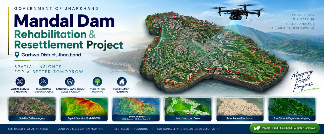 Mandal Dam R&R Township — 888 ac, Jharkhand
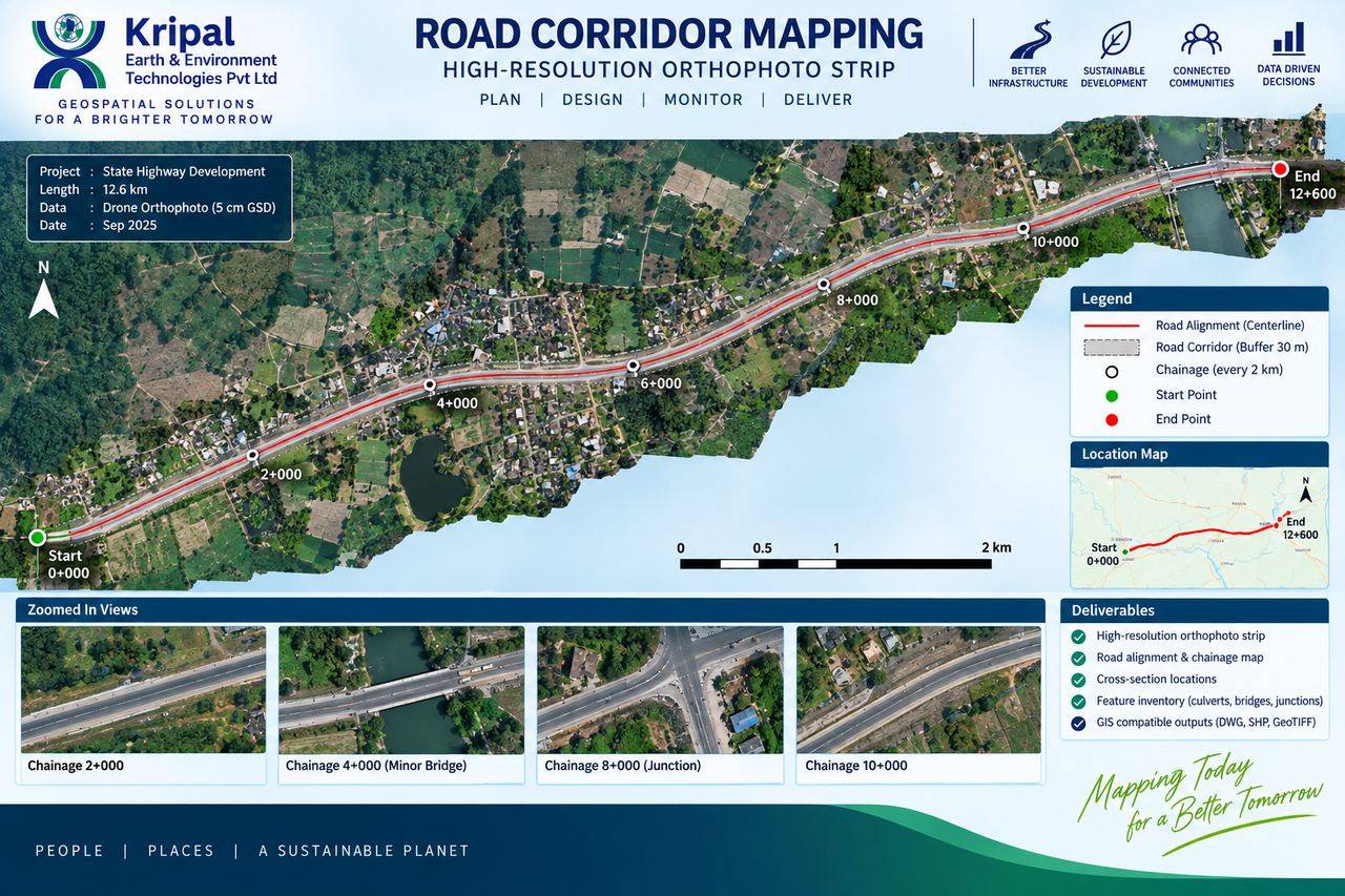 12.6 km Highway Corridor Orthophoto
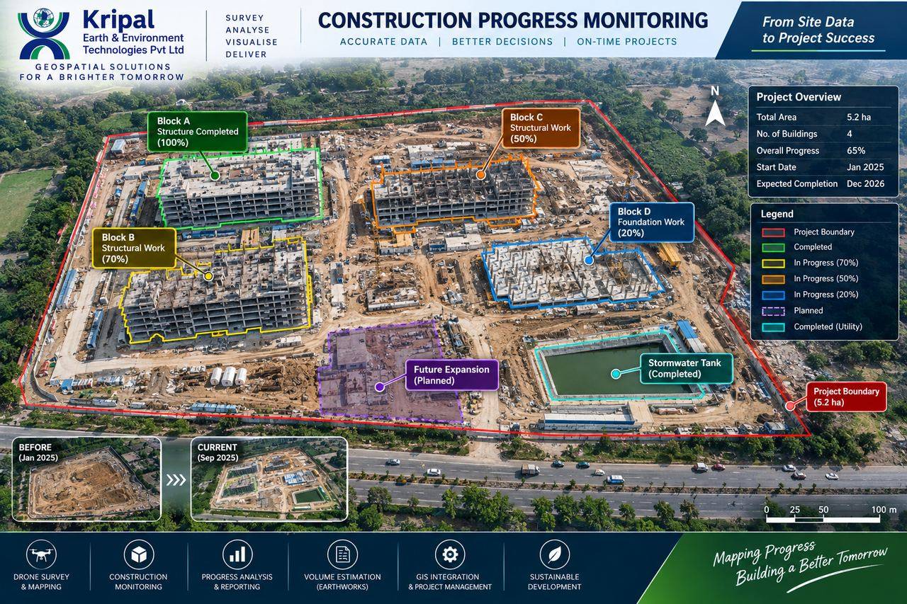 Construction Progress Monitoring